Sentry Page Protection

Burma Maps
Old and Recent
|
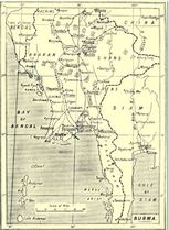
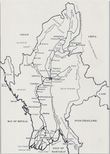
Burma S.P.G. Map
|
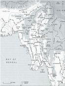
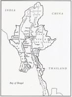
Burma 1945
|
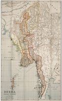
Burma 1897
|
|
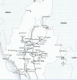
Road & Rail (recent)
|
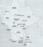
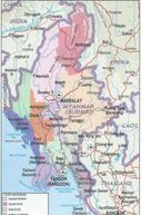
States & Divisions (recent)
|
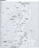
North Burma (recent)
|
|
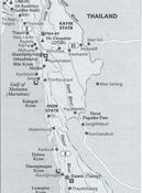
South-East Burma (recent)
|
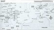
East Burma (recent)
|
Burma 1945
|
|
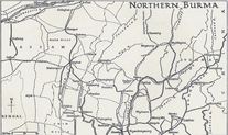
Northern Burma
|
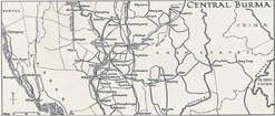
Central Burma
|
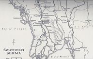
Southern Burma
|
|
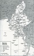
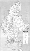
Burma - States and Towns
|
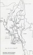
Main Towns, Rivers & Railways
|
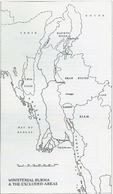
Ministerial Burma
|
|
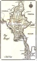
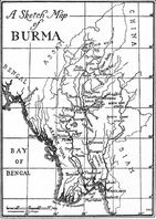
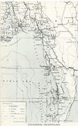
Sketch Map
|
|
|
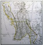
Lower Burma, c. 1860
|
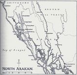
North Arakan
|
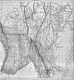
Burma - late 1800's
|
|
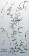
Burma and the Irrawaddy River
|
|
Lower Burma 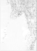
|
|
|
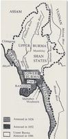
British Burma 1860's 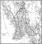
|
|
|
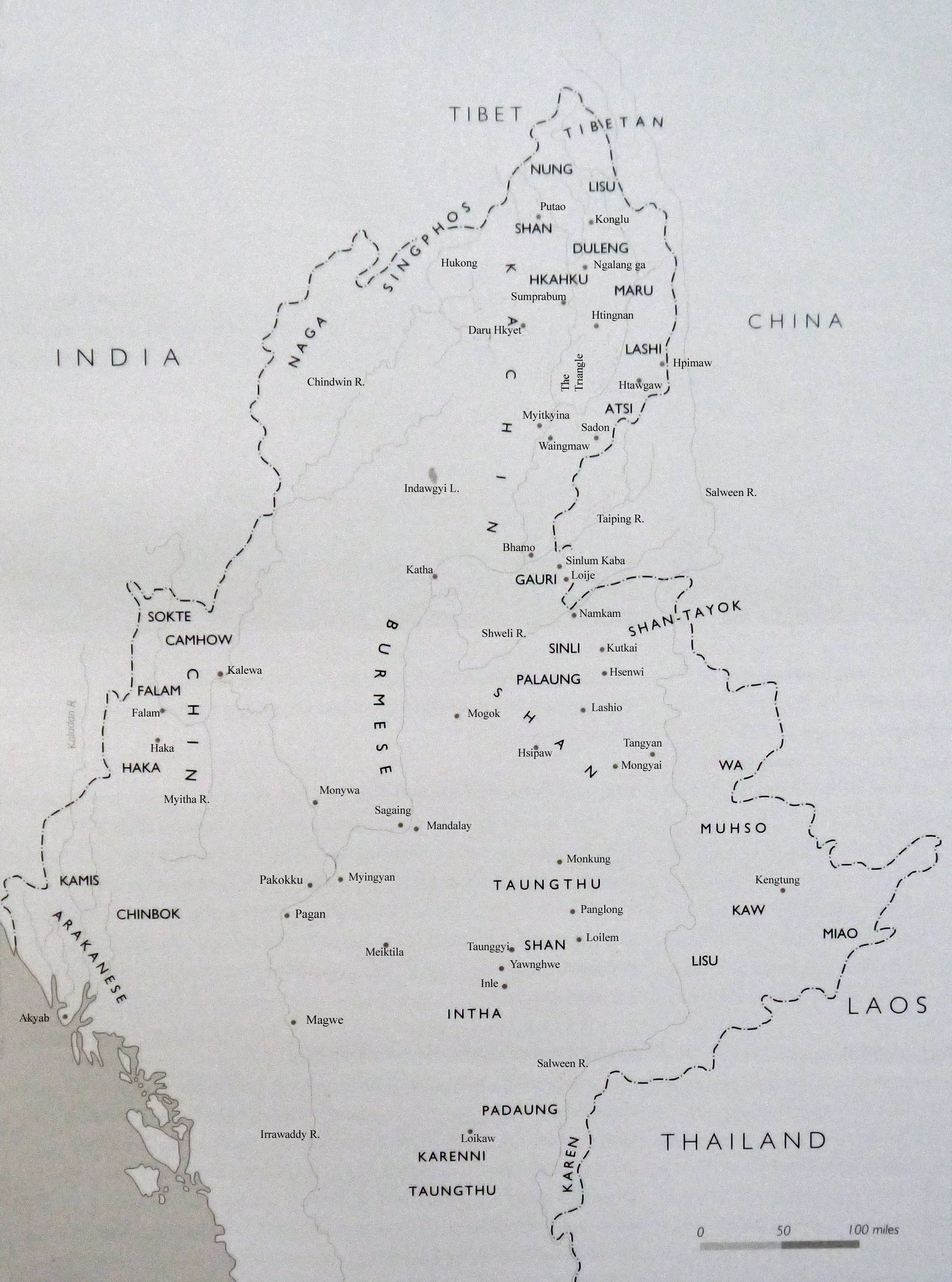
Ethnic Map of Burma
|
Myitkyina Districy, Mogung Tribal Area. Yunnan Province. 1944
|
Tribe Areas
|