Sentry Page Protection
Towns Maps
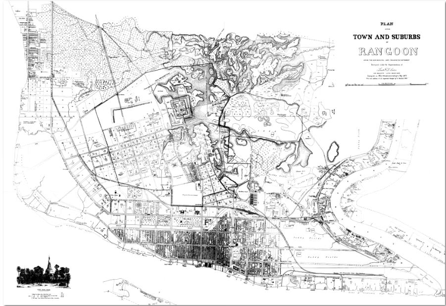
RANGOON 1877
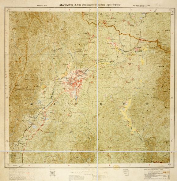
MAYMYO 1920
|
|
|
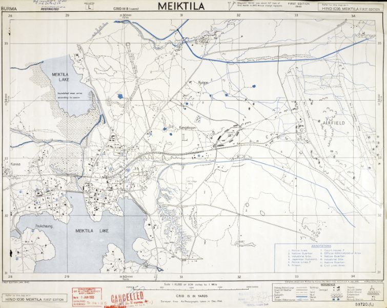
MEIKTILA 1945

MOULMEIN
|
| ||||||||
Evacuation Routes

FORT HERTZ to MARGHERITA
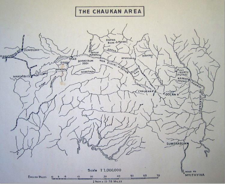
CHAUKAN AREA
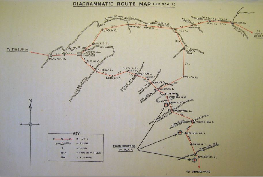
DIAGRAMMATIC ROUTE MAP
|
|

MARGHERITA to TAGAP GA

ROUTE MAP DISTRIBUTED TO INDIAN REFUGEES
|
| |||||||||||
Military maps link:-
http://www.lib.utexas.edu/maps/ams/burma/
http://www.lib.utexas.edu/maps/ams/burma/